Microbial and Environmental Meta Genomics Analysis

Microbial genomes are being analyzed for revealing plant microbes’ interaction to understand ow plants cope up with stress with the supports from microbial world. Also genomic characterization of microbes isolated from polluted environments are being carried out specially focused on hydrocarbon eating bacteria to remove oil spil.

Analyzing rice genomic variation along with expression and phenotype data to reveal stress tolerance mechanism focusing development of climate smart rice

This project aims in analyzing publicly available sequencing data to reveal patterns and connection to understand stress tolerance mechanism in rice, a major staple food crop. Due to climate change number of cultivable agricultural lands are reducing, hence stress tolerant plants are necessary to feed the population. Along with computational data gene expression and phenotyping data are integrated to explore the biological relevance of sequence data. From the learned mechanism candidate genes are selected for further functional genomics analysis to develop climate smart plants. The project collaborates with Prof Zeba Islam Seraj’s group at University of Dhaka for information and resource exchanges.

Understanding The Transcriptomic Responses to Environmental Change in Hilsa

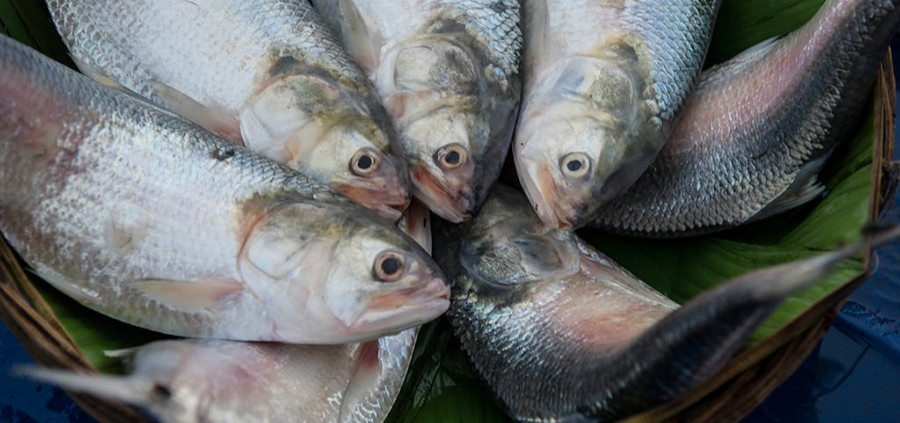
In order to gain an in-depth understanding of the change in Hilsa migration, adaptation and reproduction emanating from climate change an integrated omics (genomics, transcriptomics, proteomics, metabolomics and metagenomics) approach has to be adopted. Use and development of different bioinformatics algorithms, tools, and scripts as well as high-performance computing facilities are required to analyze these omics datasets. Moreover, GIS and Remote sensing technologies are required to identify deep sea habitats and collect samples. Here at AGenCy lab IUB, we made connections with the group, led by Professor Haseena Khan, who were responsible for first sequencing of Hilsa. In this project, we will work in direct collaboration with this group. Professor Haseena Khan and her team will lead the sample collection, quality control and sequence data generation and analysis. We at IUB, in collaboration with Dr. A Baten from AgResearch, NZ and Professor M Shoyaib from IIT, DU will lead the computational analysis of the data extracted. In this project we aim to focus on the first phase of the integrated omics approach

Predicting Association Between Entities in Heterogeneous Biological Networks

Heterogeneity is inherent in biological networks which consist of different entities as nodes (i.e., genes, diseases, drugs, function) and represent the relationships between these entities as edges. Predicting potential associations between biological entities currently has been an important problem in biomedical research. In general, a deep learning model uses the contextual information and structures of the heterogeneous networks to identify the associations. This project will utilize powerful tools, e.g., GNN & MRF, to develop a more accurate, explainable model for link predictions in heterogeneous networks. Dr. Azad Abul Kalam will collaborate with us on this project.

LULC analysis of Bangladesh using Deep Learning

Land use land cover (LULC) is defined how the land is used by humans or what the surface is covered with. Specifically, land use means how a particular land is being used for; for example, farmland, built-up etc. Land Cover refers to what the surface is covered with; it can be river, forest, mountains etc. Thus, LULC information and LULC change over a period of time obtained from satellite data can be used to analyze the geography, socio-economic condition, poverty estimation, urban planning, building categorization etc. In this project we aim to obtain accurate LULC data from satellite images using deep learning methods. Deep learning based methods have been proved to be more effective to extract LULC information compared to traditional classifiers that are still used in GIS systems for this purpose. However, in order to train deep learning methods on satellite images we need to have a good amount of images annotated with ground-truth. For the LULC segmentation task we need pixel by pixel LULC class annotation for the satellite images. The goal of this project is to produce good quality LULC annotation data pixel by pixel for Dhaka city and surrounding area. With a sufficiently trained segmentation model, we can employ this model to perform LULC over the entire Bangladesh without any human effort. Moreover, this project targets to develop segmentation models that can outperform the existing ones by a significant margin.

Human Activity Recognition and Rehabilitation Exercise Evaluation

This ICT Division and IUB funded project intends to develop machine learning-based approaches which can be used for the recognition of various activities using data from wearable sensors (e.g. accelerometer, gyroscope) and motion sensing devices (e.g. kinect). In addition, we intend to develop models which could be used by people seeking rehabilitation support at the CRP. Particularly, our research intention is to record movement data while the rehabilitation exercises are performed. In addition to sensor data, the plan includes collection of visual data of the patient performing exercises using 3D sensors. Finally, we intend to use time series data analysis to learn the activity, measure (or grade) the performance of the patient, level of improvement, identify the areas and time when the patient is facing difficulty. In order to achieve automatic or semi-automatic activity recognition and exercise evaluation, we have designed self attention and graph convolution based architectures. The works on self-attention based architectures for activity recognition from sensor data have been published in ECAI 2020 and PAKDD 2021.

Understanding the Urban Environment from Satellite Data

This project is a collaboration between CCDS and the Center for Spatial Information Science, The University of Tokyo, Japan. Based on easily accessible data from Google Earth, this work develops and proposes a new urban environment classification method focusing on formality and informality. The method developed in this work divides the urban environment into 16 categories under four classes. Then it is used to draw the urban environment classes maps of the following emerging cities: Nairobi in Kenya, Mumbai in India, Guangzhou in China, Jakarta in Indonesia, Cairo in Egypt, and Lima in Chile. The characteristics of the different urban environments and the differences between the same class in different cities are investigated. The paper also demonstrate the agility of the proposed method by showing how this classification method can be easily augmented with other data such as population per square kilometer to aid the decision-making process.