Understanding the Urban Environment from Satellite Data
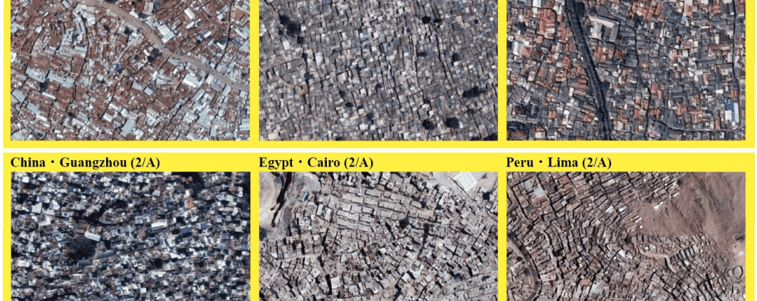
This project is a collaboration between CCDS and the Center for Spatial Information Science, The University of Tokyo, Japan. Based on easily accessible data from Google Earth, this work develops and proposes a new urban environment classification method focusing on formality and informality. The method developed in this work divides the urban environment into 16 categories under four classes. Then it is used to draw the urban environment classes maps of the following emerging cities: Nairobi in Kenya, Mumbai in India, Guangzhou in China, Jakarta in Indonesia, Cairo in Egypt, and Lima in Chile. The characteristics of the different urban environments and the differences between the same class in different cities are investigated. The paper also demonstrate the agility of the proposed method by showing how this classification method can be easily augmented with other data such as population per square kilometer to aid the decision-making process.


